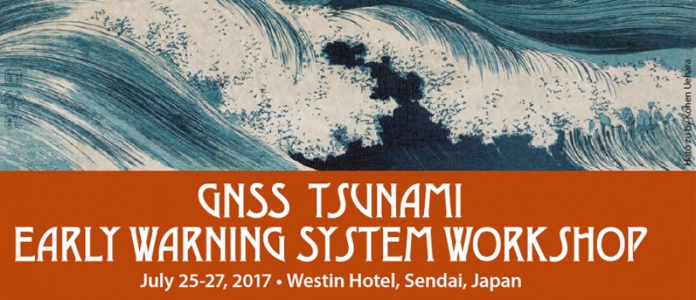
The Global Navigation Satellite System Tsunami Early Warning System (GNSS-TEWS) workshop was held in July 25-27, 2017 at Sendai.
The past decade has witnessed a terrible loss of life related to large earthquakes and resultant tsunamis in the Indo-Pacific region. New and experimental algorithms based on GNSS data and science now exist to rapidly determine the likelihood that a tsunami will be generated from a large earthquake, to predict their extent, inundation, and run-up, and to track the tsunami as it propagates through the ocean basins.
During the workshop, academics assessed what resources would be required to develop real-time GNSS through the Pacific-Rim. In doing so, researchers helped determine the usefulness of the technology, a needed measure before implemtation can be considered.
The workshop helped identify the data needs of possible future collaboration between Asia-Pacific Economic Cooperation (APEC) economies and the world. More details about the workshop can be found here.
Sponsor
National Aeronautics and Space Administration
Co-Sponsors
APRU-IRIDeS Multi-Hazards Program Hub
Tohoku University, Sendai, Japan
Global Geodetic Observing System
See Workshop Flyer


